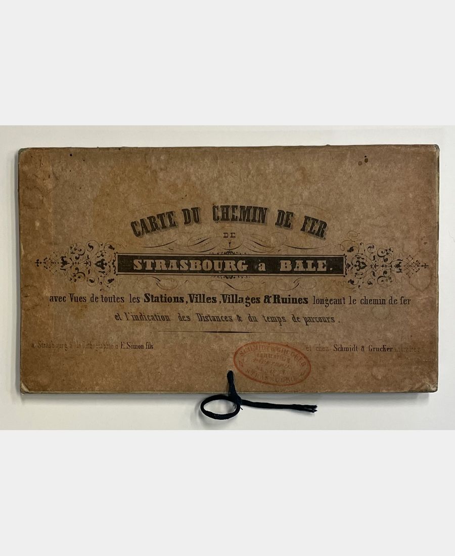
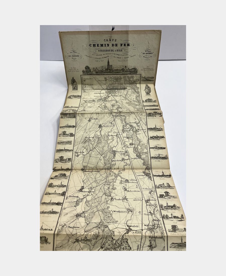
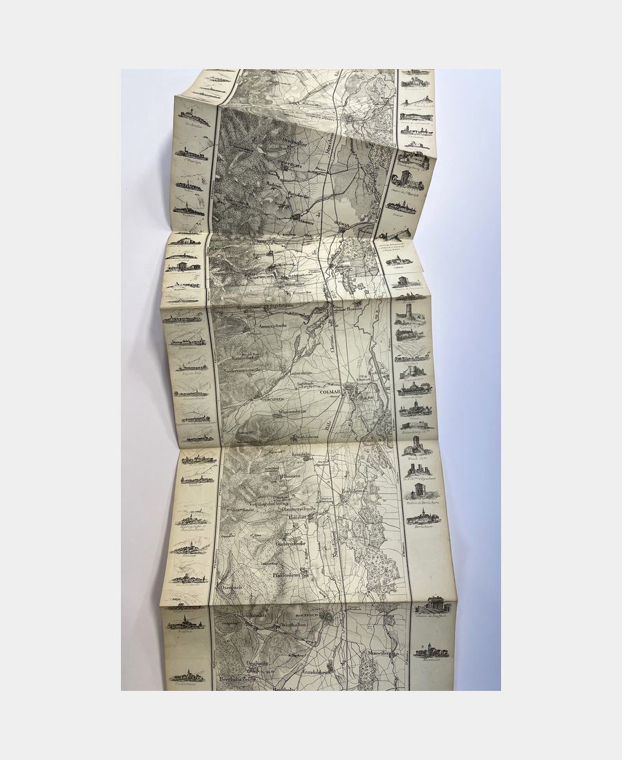
Map of the Chemin de Fer from Strasbourg to Basel with views of all the stations, towns, villages and ruins along the railroad.
Map of the Chemin de Fer de Strasbourg à Bâle with views of all the stations, towns, villages and ruins along the railroad and indication of distances and travel times. S.d. (circa 1840).
vendu
vendu
As far as possible, orders are dispatched within 48 hours of receipt of payment, at the latest within 7 days.
We apologize for any inconvenience this may cause during busy periods or in exceptional circumstances.
What should I do if I'm not happy with my purchase?
In distance selling, you benefit from a 14-day cooling-off period, if your purchase is not to your liking or does not conform to the description, shipping costs remain at your expense.
Your order is processed by L'image et le Livre as soon as online payment has been made and the order confirmed.
You will receive automatic confirmation that your order has been processed.
A shipping confirmation e-mail will be sent to you as soon as your parcel has been picked up by the transport and delivery company.
detailed information
| Langue | |
|---|---|
| Type couverture | |
| Era |
XIXe |
| Condition | |
| Editor | |
| Lieu de publication |
Description
Strasbourg, Simon, s.d. (circa 1840); leporello in publisher’s printed boards, printed on first board. Slight halos and soiling to boards, a few small tears to map folds, bookseller’s stamp on first board. Long lithographed folding map (approx. 170 cm), illustrated in the margins with views of towns, villages and places of interest along the route.


