
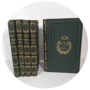
Normandy
Collection

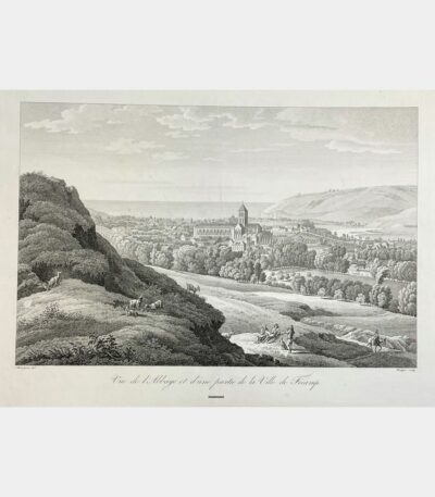
View of the Abbey and part...
110 €View of the Abbey and part of the town of Fécamp. Engraving by Benedikt Piringer after C. Bourgeois. Early 19th century.
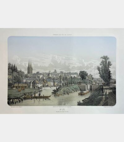
Saint Lô, view from the banks...
180 €Saint Lô, view from the banks of the Canal. Adolphe Maugendre. Circa 1850.
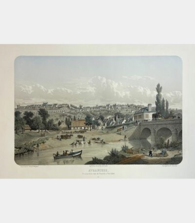
Avranches, view from the Granville road...
180 €Avranches, view from the Granville road at Pont-Gilbert. Adolphe Maugendre. Circa 1850.

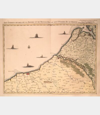
Mouths of the Somme and Bresle...
240 €The mouths of the Somme and Bresle Riv. or is St. Valeri, Eu and Dieppe. Amsterdam, J. Covens & C. Mortier. 18th century.
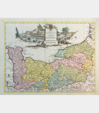
Carta geografica del governo della Normandia
160 €Carta geografica del governo della Normandia. De L’Isle (Guillaume). 1750.
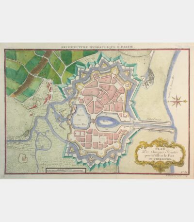
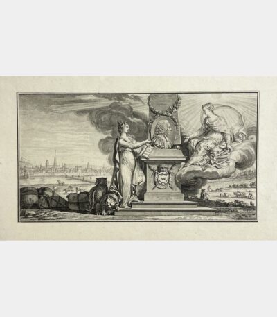
Plan Des Ouvrages Projettés pour la...
45 €Plan Des Ouvrages Projettés pour la Ville et le Port de Cherbourg. 18th century.
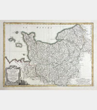
Map of the Government of Normandy...
Map of the Government of Normandy with that of Maine and Perche. Rigobert Bonne. 18th century.
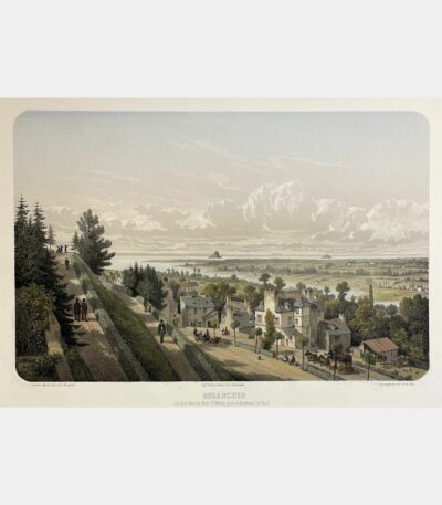
Avranches. View of the Bay of...
Avranches. View of the Bay of Mont-Saint-Michel, taken from Boulevard du Nord. Adolphe Maugendre. 19th century.