Cartography and travel
Collection
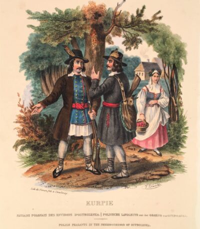
Polish peasants near Ostrolenka
60 €Polish peasants near Ostrolenka. Lithograph by Frédéric Simon after Lewicki. 1841.
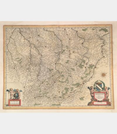
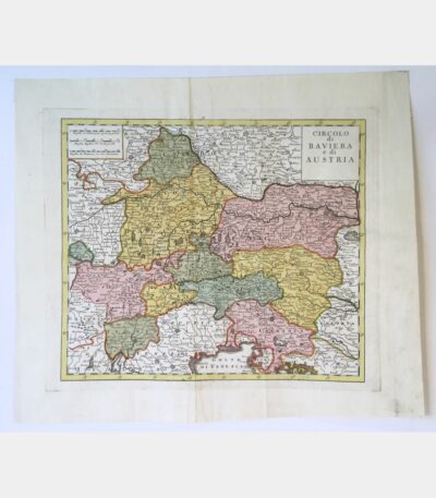
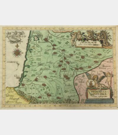
Latin Champagne Campania, Comitatus
180 €Latin Champagne Campania, Comitatus. Blaeu (Johann). 17th century.
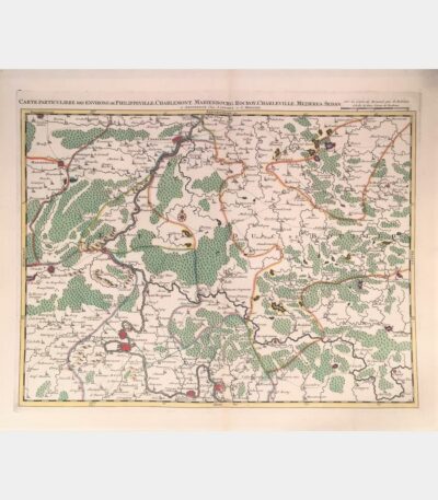
Special map of the area around...
180 €Special map of the area around Philippeville, Charlemont, Marienbourg, Rocroy, Charleville, Mezieres, Sedan. Covens (Johannes), Mortier (Cornelis). 18th century.
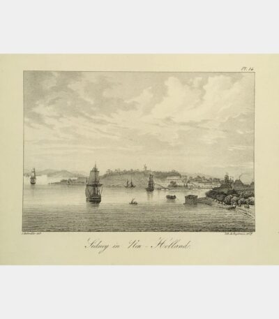
Sidney in Neu-Holland
110 €Sidney in New Holland. Lithograph by Engelmann after Jacques Rothmüller. Early 19th century.
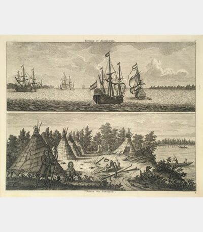
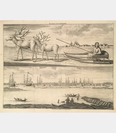
Samoiedes sleigh. Workcamps outside Archangel.
90 €Samoiedes sleigh. Shipyards outside Archangel. 1718.
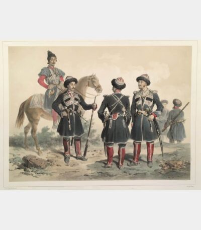
Uniforms of circus troops serving Russia
80 €Uniforms of the Circassian troops serving Russia. Lithograph by Adolphe-Jean-Baptiste Bayot after Ch. Giraud. 1852.
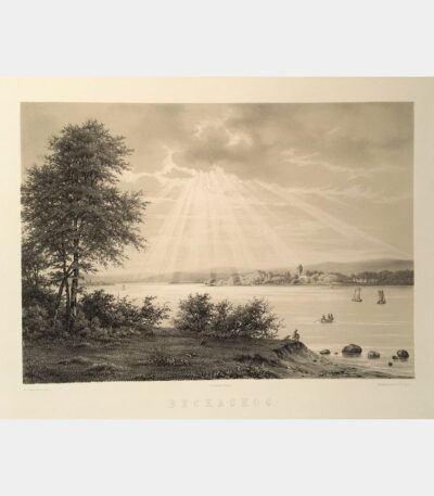
The King’s Castle, Stockholm. Sweden
150 €The King’s Castle, Stockholm. Sweden. Lithograph by Jacottet after Mayer. 1852.
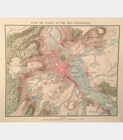
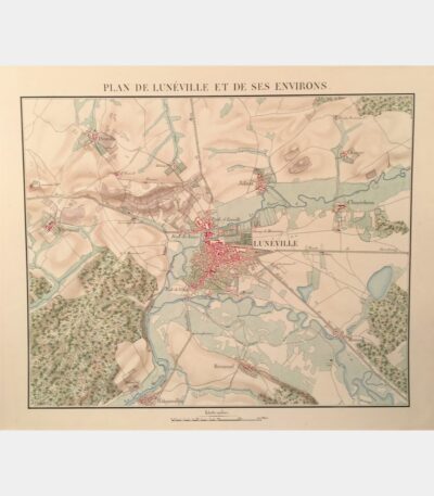
Map of Nancy and its surroundings....
800 €Nancy and the surrounding area. Manuscript map. Circa 1840.
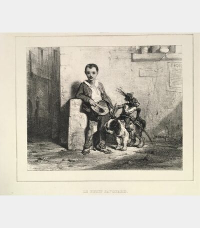
Le Petit Savoyard
60 €Le Petit Savoyard. Decamps (Gabriel Alexandre). Original lithograph. 19th century.
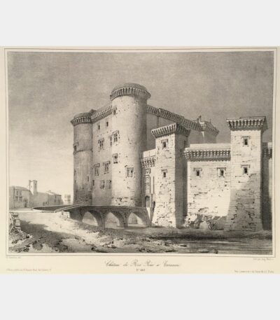
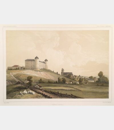
Château du Roi René in Tarascon
110 €Château du Roi René in Tarascon. Lithograph by Auguste Mathieu after Guesdon. 19th century.
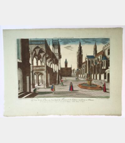
Notre-Dame-des-Doms, view from the Promenade du...
110 €Notre-Dame-des-Doms, view from the Promenade du Rocher (Avignon). Rivière (Ch.). 19th century
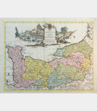
Carta geografica del governo della Normandia
160 €Carta geografica del governo della Normandia. De L’Isle (Guillaume). 1750.
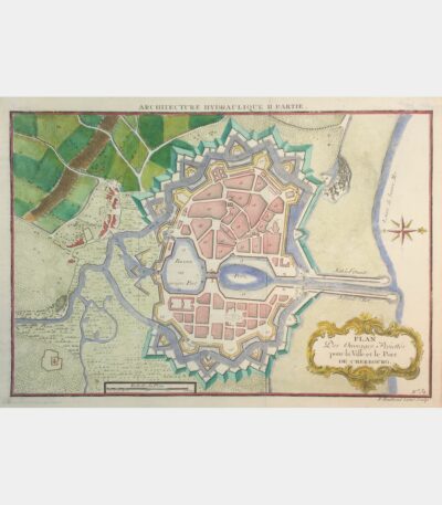
Plan Des Ouvrages Projettés pour la...
45 €Plan Des Ouvrages Projettés pour la Ville et le Port de Cherbourg. 18th century.
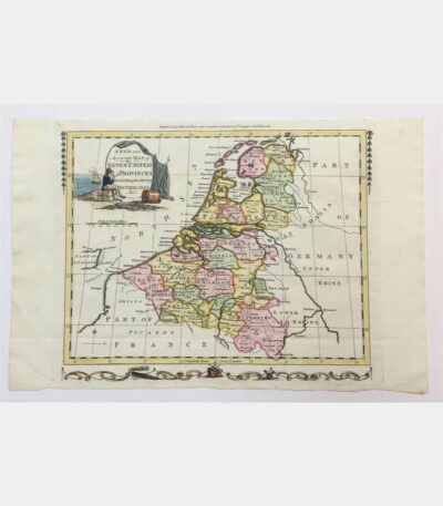
A new and accurate map of...
90 €Map of the Seven United Provinces. Copper engraving. 18th century.
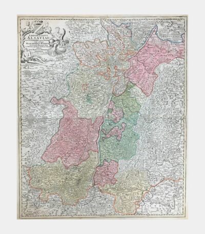
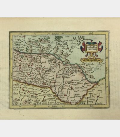
Landgraviatus Alsatiae tam Superioris quam Inferi(oris)...
230 €Landgraviatus Alsatiae tam Superioris quam Inferi(oris) cum utroque Marchionatu Badensi. 1720. Edited by Homann in Gutenberg. Copper engraving.
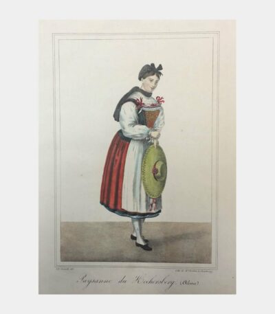
Paysanne du Kochersberg (Alsace)
160 €Peasant woman from Kochersberg (Alsace). Lithograph by Boehm after Charles Emerich.
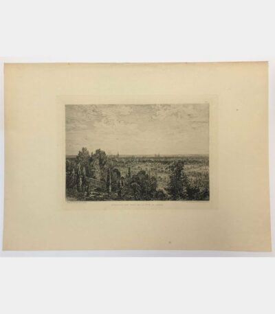
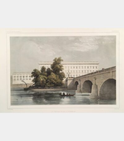
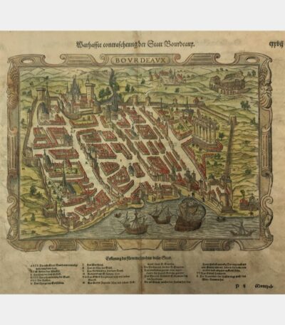
Bordeaux seen from the Cénon coast
100 €Bordeaux, view from the Cénon coast, Original etching by Maxime Lalanne, 19th century